Other Storm Chaser Accounts For April 13, 2014
Storm Chasing Blog
Chase Target:
Pittsburg, Kansas
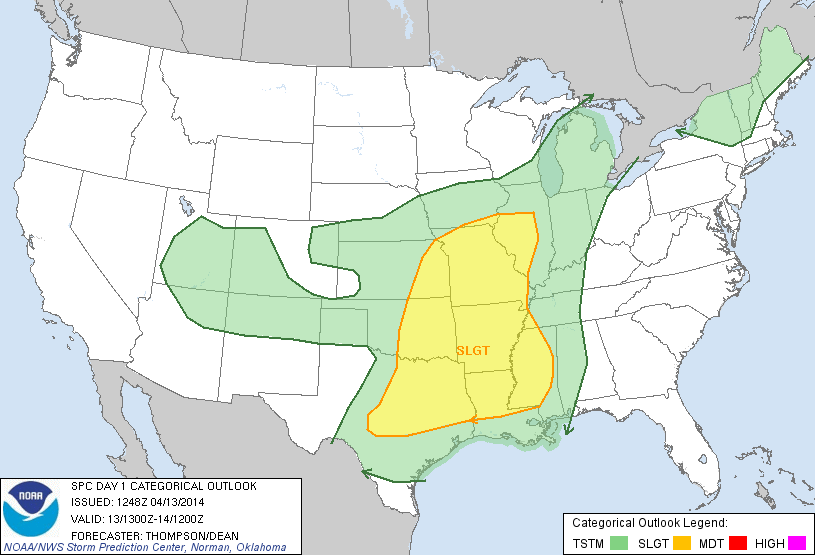
SPC Convective Outlook
At 7:48 AM CDT On
April 13, 2014
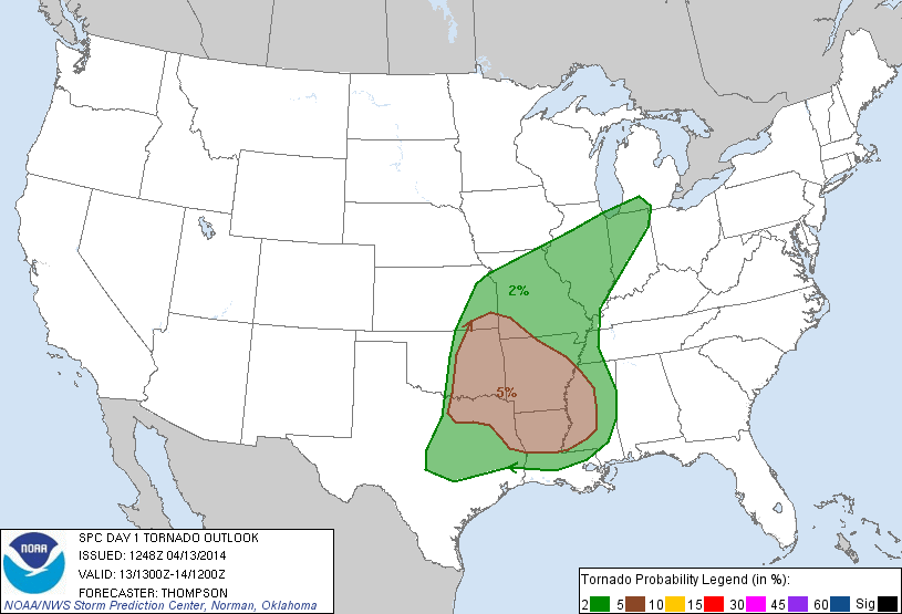
SPC Tornado Outlook
At 7:48 AM CDT On
April 13, 2014
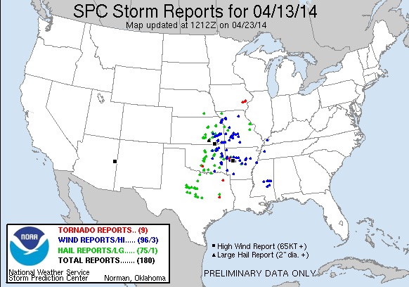
SPC Storm Reports For April 13, 2014
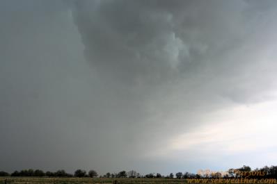
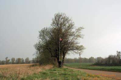
Whats Left Of The Shelf Cloud As It Moved Over Me In Cherokee Cnty. Kansas
A Small Flag In Center Of Photo Showing That The Winds Were Approximately 40-45 MPH
No articles have been located about this event!!
NONE FOUND!
These will be added when time permits...
To View The Entire Photo Album Of This Event, Please Click Here (Clicking The Slideshow Is The Best Option)
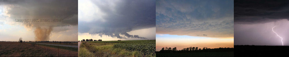
PHOTO GALLERY
NEXRAD WEATHER RADAR IMAGES
STORM PREDICTION CENTER CONVECTIVE OUTLOOK FOR THIS DAY
STORM REPORTS FOR THIS EVENT
NEWSPAPER ARTICLES AND OTHER STORM CHASER ACCOUNTS
Newspaper Articles For April 13, 2014
Storm Intercept Summary
Today included a slight risk of severe thunderstorm over Southeastern Kansas and Eastern Oklahoma. A cold front was forecasted to sweep through the area, and I decided to just stick around my home area and let any storms that developed come to me. Severe thunderstorms did traverse the Southeast Kansas area, and those storms brought thunderstorm wind gusts of 60-70 MPH over Southern Cherokee County Kansas. I did get to Central Cherokee County and let the storms come to me. I did not witness any significant severe weather, and the shelf cloud that moved East with the gusty winds wasn't even very photogenic. I took a few photos of what moved through the area, and I'm glad I did not have to drive very many miles today to see these storms. It is always nice to be out and check out severe thunderstorms!
Local Chase In Cherokee Cnty Ks.
April 13, 2014
Tornadoes:
Funnel Clouds:
Wall Clouds:
Hail:
Flooding:
00
00
00
None
No