Day One Updated
Zulu (Z) CDT
0600 1:00 AM
1300 8:00 AM
1630 11:30 AM
2000 3:00 PM
0100 8:00 PM
Day Two Updated
Zulu (Z) CDT
0800 3:00 AM
1730 12:30 PM


 | ||||||
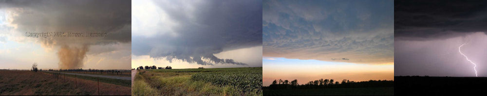
SEVERE WEATHER FORECASTING
| ||||||
EARL'S SITUATIONAL AWARENESS CHART (ETA MODEL)
EARL'S HOURLY MESOSCALE ANALYSIS
EARL'S EXPERIMENTAL SEVERE WEATHER PRODUCTS
STORM PREDICTION CENTER CONVECTIVE OUTLOOKS
Storm Prediction Center (SPC) Convective Outlooks
A Convective Outlook is a forecast containing the area(s) of expected thunderstorm occurrence and expected severity over the contiguous United States, issued several times daily by the SPC. The terms approaching, slight risk, moderate risk, and high risk are used to describe severe thunderstorm potential. Local versions sometimes are prepared by local NWS offices.
The Levels Of Thunderstorm Risks
GEN TSTMS (not labelled on the graphic outlook but listed in the discussion) - General (non-severe) thunderstorms
SEE TEXT - A label on the graphic only
SLGT - Slight risk, both graphic and text
MDT - Moderate risk, both graphic and text
HIGH - High risk, both graphic and text
A SLGT risk implies well-organized severe thunderstorms are expected but in small numbers and/or low coverage. Within a slight risk area, 5-29 reports of 1 inch of larger hail, and/or 3-5 tornadoes, and/or 5-29 wind events are forecast.
MDT risks imply a greater concentration of severe thunderstorms, and in most situations, greater magnitude of severe weather. Within a moderate risk area, at least 30 reports of hail 1 inch or larger, or 6-19 tornadoes, or numerous wind events (30 that might be associated with a squall line, bow echo or derecho) are forecast.
The HIGH risk area almost always means a major severe weather outbreak is expected, with great coverage of severe weather and enhanced likelihood of extreme severe (i.e., violent tornadoes or extreme convective wind events over a large area). Within a high risk area, expect at least 20 tornadoes with at least 2 of them rated F3+, or an extreme derecho causing 50+ widespread wind events (50+) with numerous higher end wind (80+ mph) and structural damage reports.
Thank You To The Storm Prediction Center For The Above Images, And For Their Great Job Of Forecasting Severe Weather.
Public Severe Weather Outlook
The Public Severe Weather OutlookS (PWO) are issued when a potentially significant or widespread tornado outbreak is expected. This plain-language forecast is typically issued 12-24 hours prior to the event and is used to alert NWS field offices and other weather customers concerned with public safety of a rare, dangerous situation.
Mesoscale Discussion (MCD)
When conditions appear favorable for severe storms development, the Storm Prediction Center issues a Mesoscale Discussion (MCD), normally 1 to 3 hours before issuing a weather watch. SPC also puts out MCDs for mesoscale aspects of hazardous winter weather events including heavy snow, blizzards and freezing rain (see below). MCDs are also issued on occasion for heavy rainfall or convective trends.
The MCD basically describes what is currently happening, what is expected in the next few hours, the meteorological reasoning for the forecast, and when/where SPC plans to issue the watch (if dealing with severe thunderstorm potential). Severe thunderstorm MCDs provide extra lead time on the severe weather development and allow you to begin gearing up operations before a watch is issued.
Hazardous Weather Outlook
A Hazardous Weather Outlook is a narrative statement produced by the National Weather Service, frequently issued
on a routine basis, to provide information regarding the potential of significant weather expected during the next 1 to 5 days. Click On Your National Weather Service Office Below To Get The Current Hazardous Weather Outlook For Your Area.
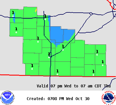
Wichita NWS Graphical Hazardous Weather Outlook
Hazard Scale
5 - Very Significant VERY SIGNIFICANT RISK OR IMPACT. Could potentially injure and/or kill the most people and/or result in catastrophic property and economic damage.
4 - Significant SIGNIFICANT RISK OR IMPACT. Could result in significant economic and/or property damage, and/or a significant risk to life.
3 - Medium MEDIUM economic impact. These events are a risk to life, and/or property with medium economic impact.
2 - Small Mainly nuisance type events. Risk to life and/or property is small if precautions are taken.
1 - Minimal Minimal Risk to life and/or property.
0 - Nil No Significant or Hazardous Weather Expected.
| ||||||
| ||||||

| ||||||
| ||||||
Springfield NWS Graphical Hazardous Weather Outlook
Hail Threat Scale
Risk Level Definition
None No risk of hail.
Limited Risk of sub-severe hail (less than 1") or Probability of severe hail (1" or greater) within 25 miles of a point: less than 15%
ElevatedProbability of severe hail (1" or greater) within 25 miles of a point: Equal to or greater than 15%
Significant Probability of severe hail (1" or greater) within 25 miles of a point:
Equal to or greater than 45%
ExtremeProbability of severe hail (1" or greater) within 25 miles of a point:
Equal to or greater than 60%
| ||||||
SEVERE WEATHER INDICES
Storm Prediction Center Hourly Mesoscale Analysis
The Storm Prediction Center Hourly Mesoscale Analysis page features numerous technical fields that are commonly used at the Storm Prediction Center to determine the potential for severe thunderstorms and tornadoes.
Click On The Graphic Below, To Be Directed To The Mesoscale Analysis Page
| ||||||

| ||||||
Day Three Updated
Zulu (Z) CDT
1100 6:00 AM
Day 4-8 Updated
Zulu (Z) CDT
0900 4:00 AM
NATIONAL WEATHER SERVICE HAZARDOUS WEATHER OUTLOOK
STORM PREDICTION CENTER'S MESOSCALE DISCUSSION
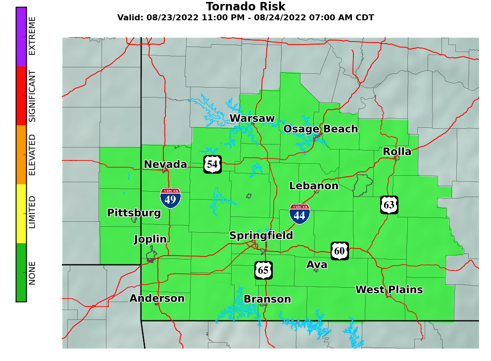
Springfield NWS Graphical Hazardous Weather Outlook
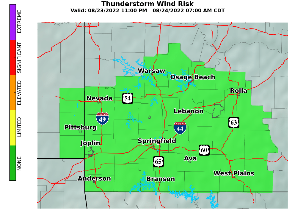
Wind Threat Scale
Risk Level Definition
NoneNo thunderstorm wind risk.
LimitedRisk for sub-severe wind gusts (less than 58 mph) or Probability of severe wind gusts (58 mph or greater) within 25 miles of a point: Less than 15%
ElevatedProbability of severe wind gusts (58 mph or greater) within 25 miles of a point:
Equal to or greater than 15%
SignificantProbability of severe wind gusts (58 mph or greater) within 25 miles of a point: Equal to or greater than 45%
ExtremeProbability of severe wind gusts (58 mph or greater) within 25 miles of a point:
Equal to or greater than 60%
Springfield NWS Graphical Hazardous Weather Outlook
Tornado Threat Scale
Risk Level Definition
None No tornado risk.
Limited Probability of a tornado within 25 miles of a point: less than 10 percent.
Elevated Probability of a tornado within 25 miles of a point: Equal to or greater than 10 percent.
SignificantProbability of a tornado within 25 miles of a point: Equal to or greater than 30 percent.
Extreme Probability of a tornado within 25 miles of a point: Equal to or greater than 45 percent.